Visual Methodologies for Landscape Observatory
Use of visual arts in observing landscape, metaphoric presentation of research, developing narratives of scientific results, and collaboration with community
About
Visual Methodologies for Landscape Observatory
Visual Methodologies for Landscape Observatory is a training course for implementing and utilizing visual tools to work and communicate with the community and interested stakeholders on spatial and landscape planning approaches to landscape enhancement and raising the quality of life. It is an approach to unifying the production of art and visual communication methods to scientific and landscape research.
Visual methodologies use various means of artwork as visual presentation tools – photographs, illustrations, drawings, pictograms, and collage as well as storytelling and video materials. The aim is to empower young scientists, community, and stakeholders to communicate and mutually share their knowledge, ideas, views, and needs on inherited landscape values to foster contextual research of landscape. The implementation of visual methodologies engages community and stakeholders in scientific research and landscape planning, thus developing the Landscape Observatory framework and widening its network.
The theoretical framework for the use of visual methodologies is the Landscape Observatory. The Landscape Observatory is a network of institutions and stakeholders, a space for experience exchange on the dynamic equilibrium, interactions, and transformations between natural and anthropogenic networks. The concept of landscape is understood as an interaction between natural and cultural networks as well as the interrelation of natural and cultural assets and their context. The spatial scope of Landscape Observatory is the Mediterranean Europe settings of the intense interaction between coast and inland that include natural connections of various habitats and biodiversity to cultural-historical, functional, and symbolical connections.
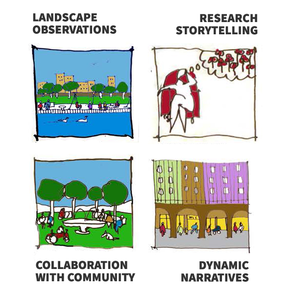
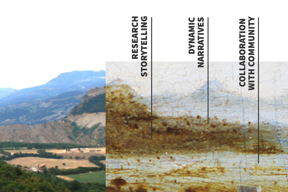
This training course is focused on the use of visual arts in developing storytelling of scientific achievement and/or the metaphoric presentation of research methods and results. Thus, the course integrates four research and self-enhancement steps: landscape observations, research and/or project storytelling, dynamic narratives of science, and (encouraging) the collaboration with community and involved stakeholders.
Target group
- Young researchers dealing with spatial topics within the life sciences,
- Spatial planners, architects, and other professionals involved in the process of planning and analysing the territory, both in the landscape and in the urban context,
- Administrators who participate in the spatial planning processes in a collective project,
- Community and locally engaged organisations,
- Small and medium-sized enterprises (SMEs) active locally
Benefits of using the Tool
- Empowerment (to all involved stakeholders) to communicate own knowledge, ideas, views, and needs on inherited landscape values,
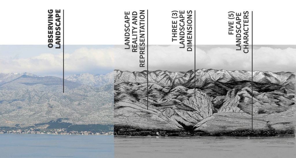
- Gathering new knowledge about landscape reality and representation through personal research and from other groups involved,
- Improving presentation skills to offer to the public a clearer idea about research topic or design choices during planning development,
- Gaining feedback and inputs on presented research and/or projects from the community and all involved groups,
- Integrated awareness that research and/or (territory planning) project are collective processes.